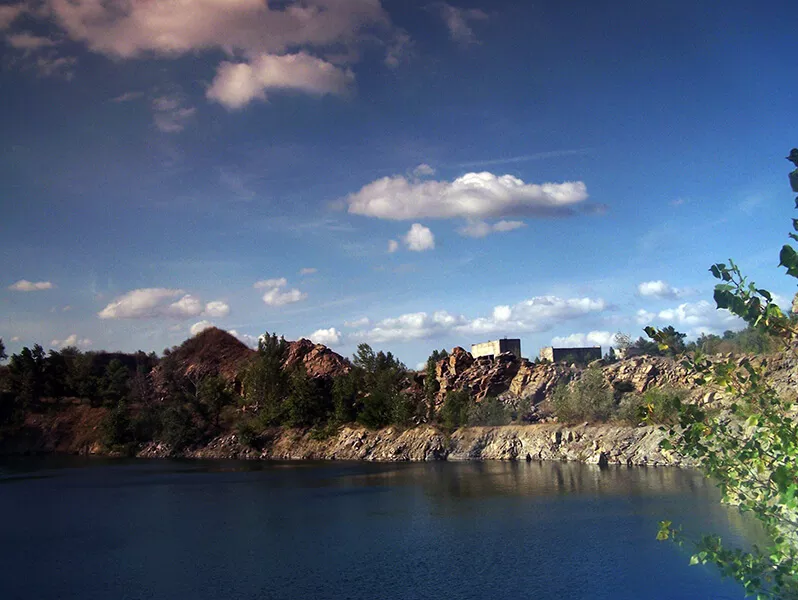
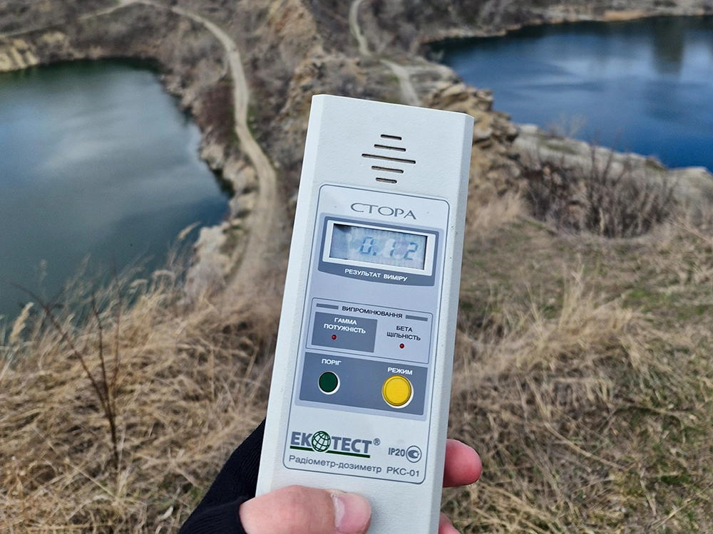
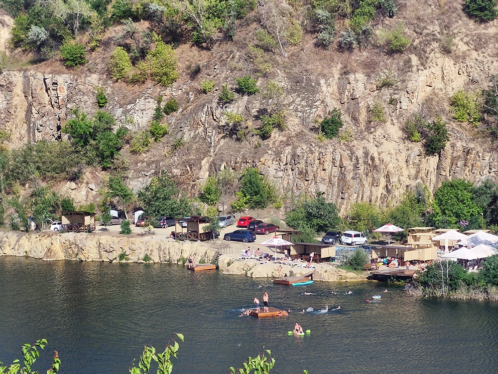
But there is one “but”! Several granite quarries operated near Dnipropetrovsk, and they continued to operate, while this one ceased operations and was even flooded with water.
I had a hunch that needed checking out, that the granite from here was mostly taken to Dniprodzerzhynsk. I asked my fellow history researchers from the city of Kamenskoye (community ALTERKAM) about this, and they confirmed that most of the crushed stone for large construction projects during that period was indeed obtained by Dniprodzerzhynsk from these mines. This was the reason for the last drainage and restart of production in these mines.
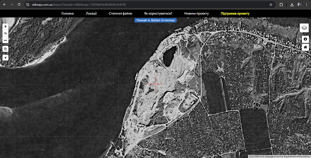
I get the impression that some users of the OldMaps.dp.ua service believe that the quarry has been flooded since the 1980s, but this is not the case. In the mid-1990s, I walked along the very bottom of the workings myself. This means that it was flooded and continued to operate at least twice.
Most likely, in the second half of the 1980s, it was decided to continue the work, so the water was pumped out. According to satellite images (yes, that’s right—in those years, images were already being taken by satellites, albeit in monochrome), between 1982 and 1984, engineering work was carried out to pump water out of the northern mine. By 1984, it was almost dry. You can track all the layers of images of this location yourself on the oldmaps.com.ua service.
I cannot yet confirm this with satellite images, but until the 1990s, water was pumped out of the southern mine as well, because in the early 1990s, equipment was already operating in both mines and granite was being extracted. I saw both workings in operation and even went down into them, because the site was almost unguarded and there were almost no workers there outside working hours.
What follows are my personal memories.
Taromsky quarry, my memories
I remember the Taromsky quarry like this.
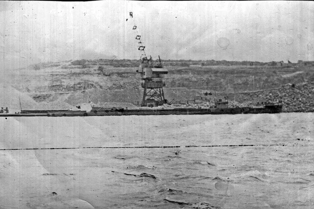
In the 1990s, I spent every summer (and sometimes part of spring and autumn) in Sukhachevka. All these years I have heard warning signals, industrial explosions and all-clear signals. Sometimes there were up to three explosions a day. We were interested – so we went (outside working hours, or weekends – that is, only during safe times) to look at what was happening there.
At the bottom (bottom) of the quarry, drilling rigs and large excavators worked; near each working (there were two), crushing complexes and screens worked, which distributed the crushed stone into fractions. KrAZ 256 dump trucks were constantly driving towards the rumbles, which were filled with gravel, and they took it away somewhere.