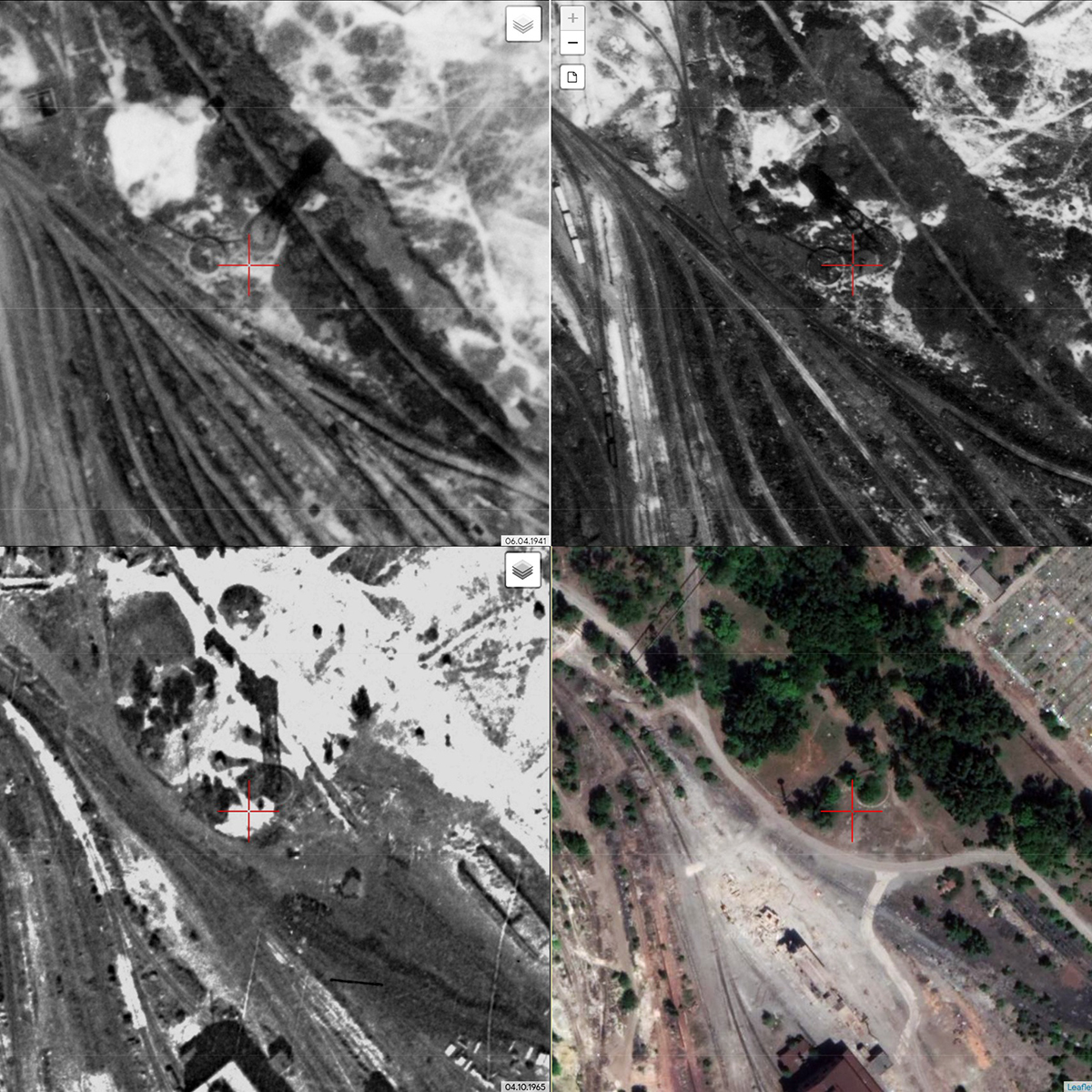
And the first thing I immediately noticed was the shadows of the tower in the early 1940s. and in the 1960s. radically different.The old tower was taller, the shaft design was «conical» and more openwork, the volume of the tank was larger. The new turret was lower, had a smaller tank, the design of the shaft was the same over the entire height of the square section in plan. Perhaps the authentic tower was damaged during the Second World War, or it was dismantled for metal for military purposes (I could not find out).
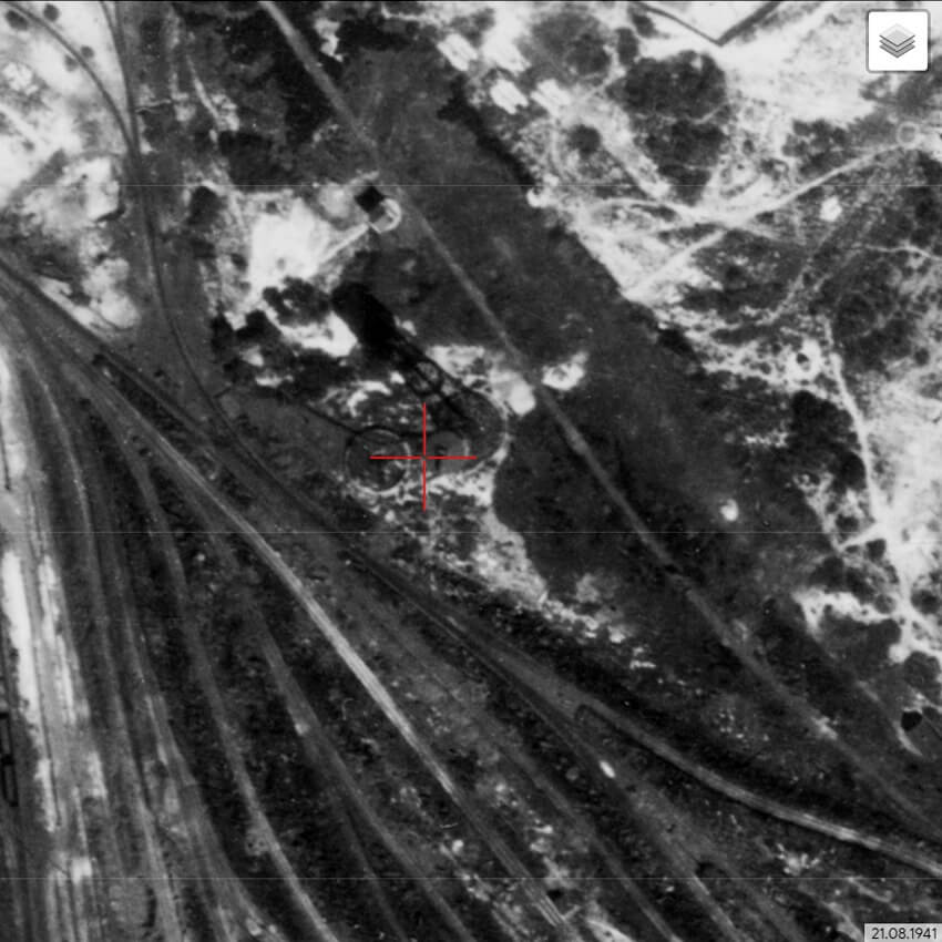
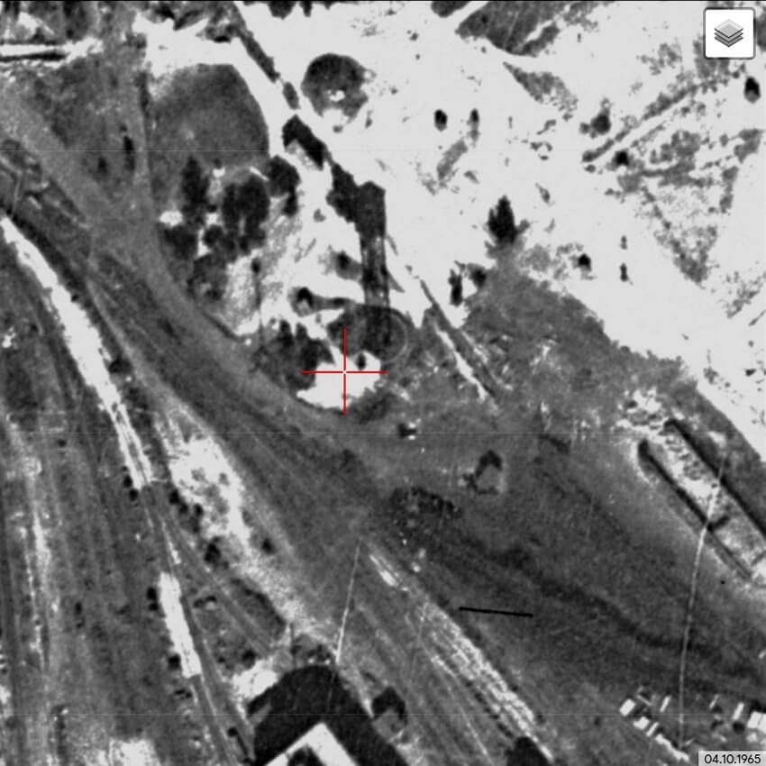
Note: the shadows in these images can be used to determine the approximate (with an error of no more than 10 minutes) astronomical time when each of them was taken. North on all maps is always at the top, and it is also «conditional noon» or «number 12» (by analogy with the clock dial, the military indicates the direction relative to the north). Snapshot 04/06/1941. filmed at approximately 13:00. The photo was taken on August 21, 1941 at about 10:30. The picture was taken on 10/04/1965 at approximately 11:40.
I decided to get a little confused, and here the knowledge of descriptive geometry, which Professor D. I. Tkach put into me, came in handy (on tapes according to the outline, the streams of consciousness of Dmitry Ivanovich made the brains of students boil – but it was epically cool and it greatly developed spatial thinking).
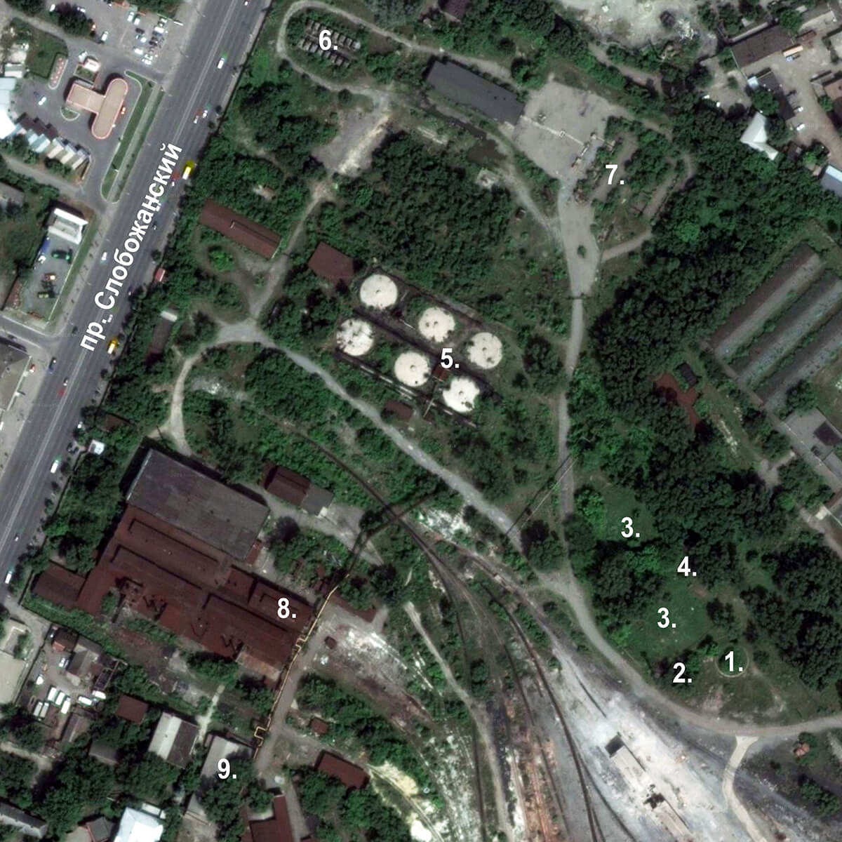
To begin with, I set myself a simple task – to get ahead of the approximate height of the towers. Since for each day of the year the position of the Sun relative to the Earth is different, and I have already forgotten astronomy – I decided to find an object in the vicinity, which is present in all the images and preferably preserved at the time of my research. Next, you need to determine the height of this object, and then use elementary interpolation to compare the shadows of the original object with the desired object (technically, this is simple – if there is something to interpolate with respect to).The only well-located building that was present in all the pictures was the model shop (pic. 2, position 9). To my joy, I didn’t have to go to measure the height of the model shop (besides, it was dismantled at the end of 2019), because in my working files I have a digitized drawing of 1945 for the reconstruction of this shop and the height of the building from zero is indicated there to the roof ridge – and it is ~ 10 m.
My calculations gave the following results:
- Height of the 1st water tower in the early 1940s was 60-62 meters.
- Height of the 2nd water tower in the 1960s was 38-40 meters.
This once again proves that two different objects were located on the same foundation at different times.
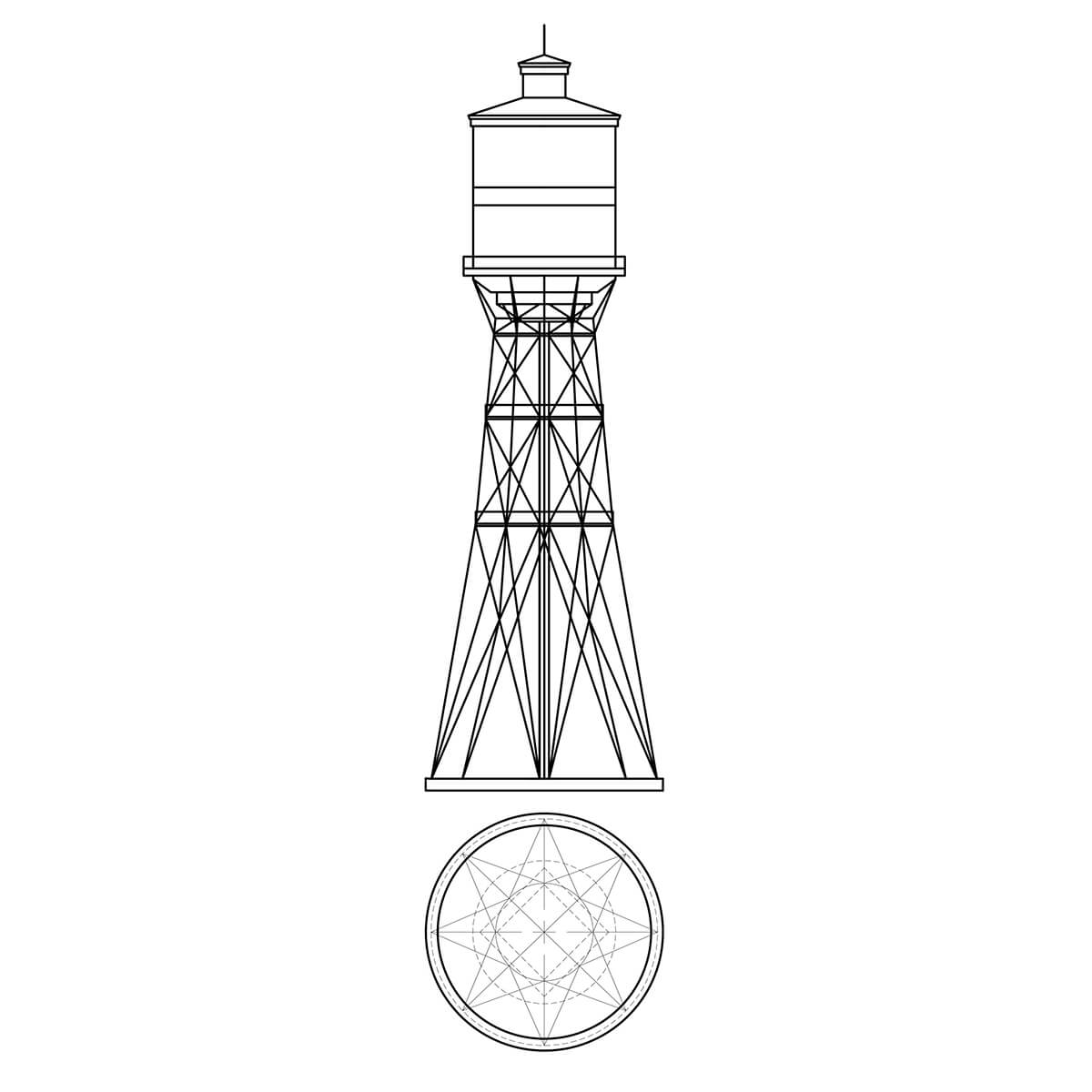
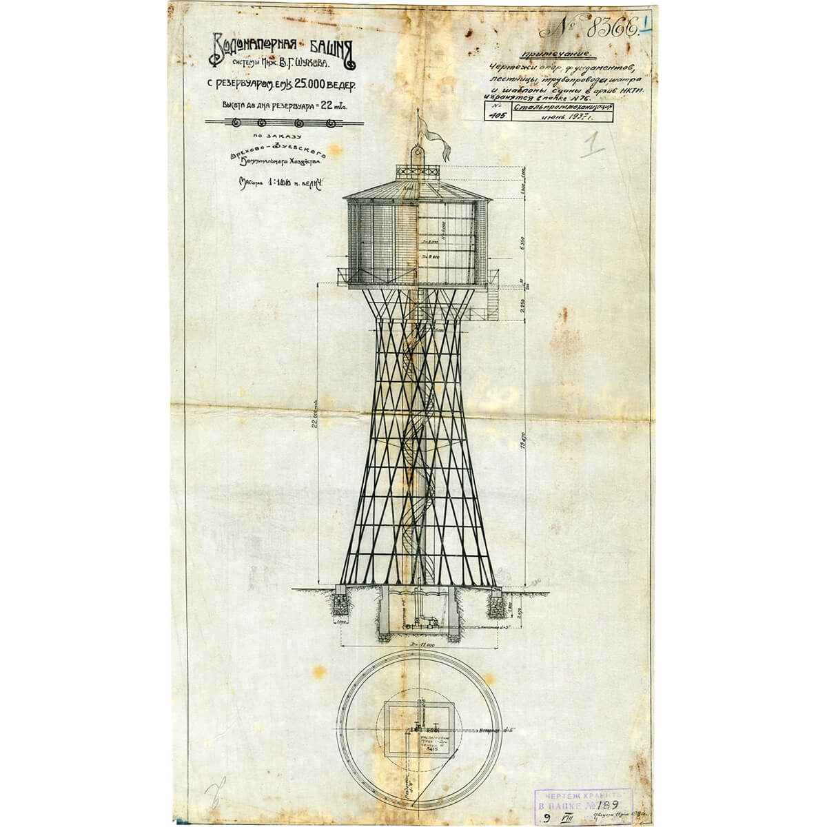
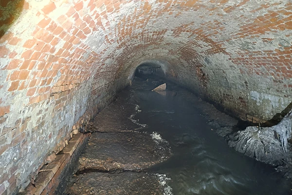
The old tower, as for the late 1930s – early 1940s. was incredibly high. To support a huge reservoir of water at such a height requires ingenious engineering for the entire structure. This fact really surprised me. Therefore, I decided to explore this object in more detail. I decided to draw a diagram of this engineering structure along the contour of the shadow, already taking into account the height of the structure, which I determined. I simply measured the diameter of the base of the tower (foundation) (interpolated the same way as the heights) on a modern Google map (scale bar in the lower right corner) – it was 20 m.
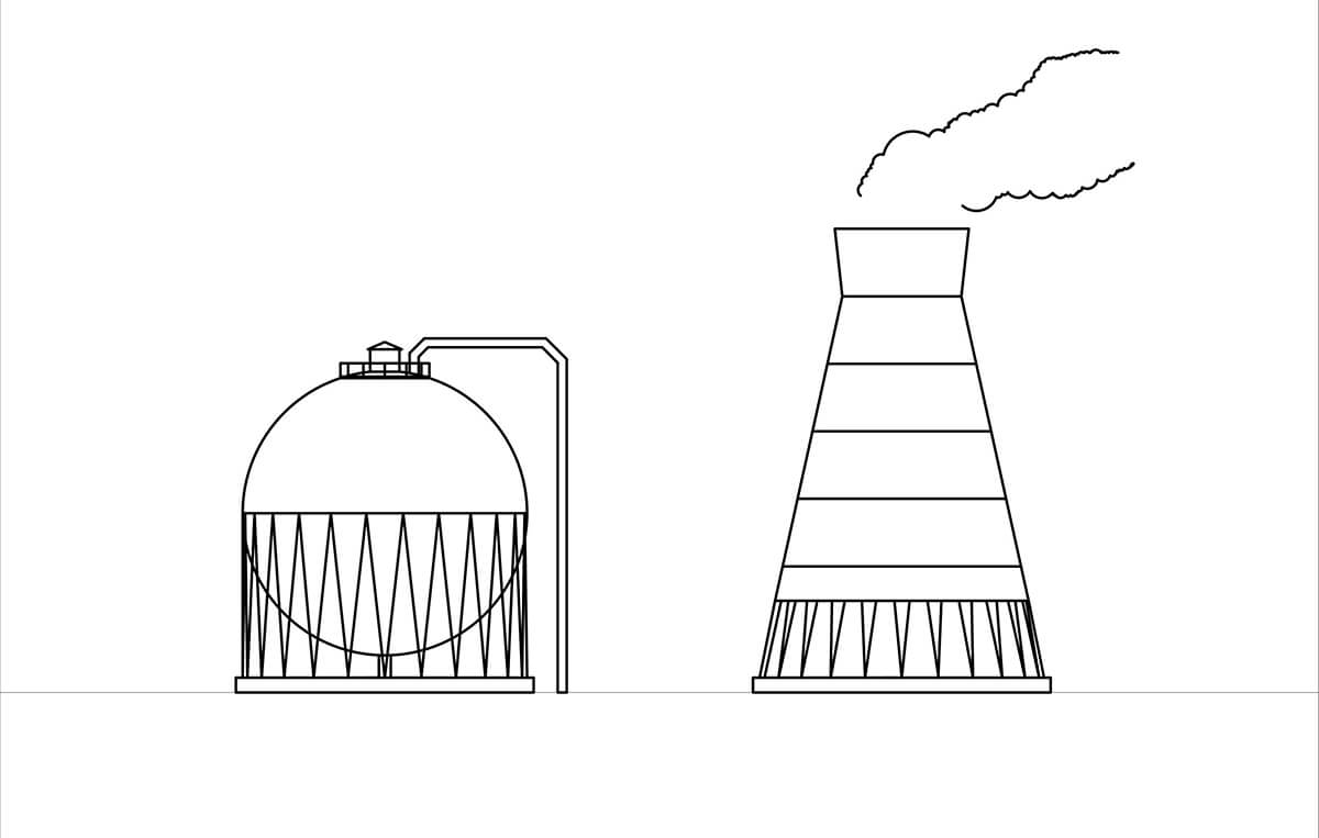
For a warm-up (it is simpler in design), I drew a diagram of the tower, which stood in the 1960s, using the shadows. (pic. 10).